Ola Maps and OpenStreetMap Data
Recently, Ola started rolling out Ola Maps in their main mobile application, replacing Google Maps, while also offering maps as a service to other organizations. The interesting part for me was the usage of OpenStreetMap (OSM) data along with Ola’s proprietary data sources. Let’s talk about the map data part here.
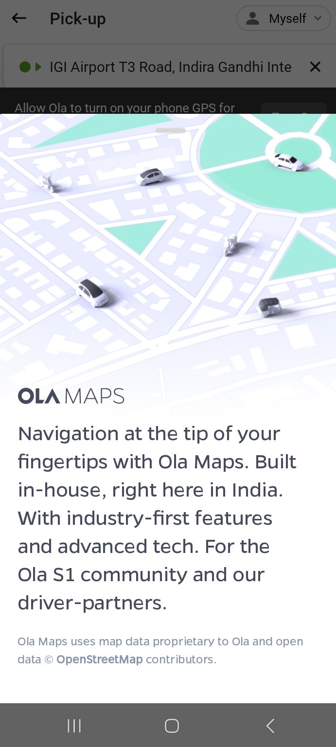
OpenStreetMap attribution is shown after clicking the Ola Map icon.
OpenStreetMap for starters, is a community owned and edited map data resource that gives freedom to use map data for any purpose. This includes the condition that attribution is given back to OSM which in turn ideally would encourage other users to contribute, correct and edit, helping everyone in turn. Due to this, OSM is also regarded as the Wikipedia of maps. OSM data is used by many organizations like Wikipedia Maps, Strava Maps, Snapchat Map, bus tracking in GoIbibo/Redbus etc.
OSM India community has been following Ola’s map endeavor to use and contribute to OSM since they went public with it few years ago. As required by OSM for organized mapping efforts, Ola created a wiki entry with information regarding their editors, usage, policy and mentions following as their data usage case:
OSM data is used for the road network, traffic signs and signals, buildings, natural features, landuse polygons and some POIs.
Creating a map product is a task in itself. An engineering hurdle to create the tech stack for collection, validation, import and serving the map and data. Ola has done a good job describing the development of the tech stack in their blog post. Ola holds an enormous corpus of live and constantly updated GPS trace data. Their drivers, users, and delivery partners generate those, which they harness to validate, correct and add missing map data. Ola employees now regularly contribute new or missing roads (including adding dual carriageways to existing ones), fixing road geometry, classification, access type and restrictions pan India. They have been active and engaging in OSM India community channels, though community members have raised some concerns about their OSM edit practices.
Ola’s venture into the map industry isn’t something out of the ordinary. Grab, a Southeast Asian company that has business interests in food deliveries, ride hailing and a bunch of other services too switched to their in-house map based on OpenStreetMap, followed by the launch of their map product. Grab too contributed data to OSM. Both Ola and Grab heavily rely on maps for their business operations and seem to choose to go independent for it, bootstrapping their map products on OSM.
In India, bunch of organizations contribute to OSM like Swiggy, Stackbox, Amazon, Apple. Microsoft, Meta/Facebook and others. Everyone wants better map data, so everyone works together.
Ola could have gone their own route; bootstrapping map data from scratch, which would have been a gargantuan task when you’re competing against the likes of Google Maps and Bing Maps, which have been into this for many years. Deciding to use OSM and actively giving back to make data better for everyone deserves accolades. Now, I’m waiting for their second blog post, which they mention would be on map data. (Update - here’s the post.)
If you’re an Ola Map user through Ola Electric or Ola app, and find some roads unmapped, you can always edit them in OSM. What I have heard from their employee is that they import new OSM data weekly, which means your changes should start reflecting for you (and everyone else) by next week. If you’re new, follow the Beginners’ Guide and join OSM India community at any of the listed places for any doubts and to participate in various mapping events/discussions.
PS — You can see live OSM edits in the Indian subcontinent here.